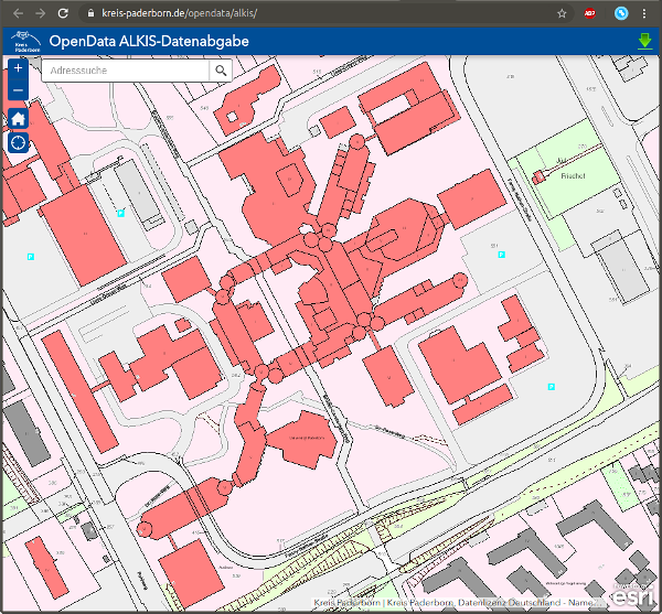
Open Data Paderborn
The Paderborn district offers a service to download Paderborn geodata. On the website, you can draw a polygon and enter your e-mail address for download.

Data format
The data is structured by the Geography Markup Language (GML), a XML format. You can use the QGIS (Wikipedia) software to explore it. For downloads, see the QGIS download website. Maybe you want to write a SAX parser?
Additional information about the format and tools is availabe in German: Normbasierte Austauschschnittstelle (NAS), Amtliche Liegenschaftskatasterinformationssystem (ALKIS), Geographische Informationssysteme.

Elections